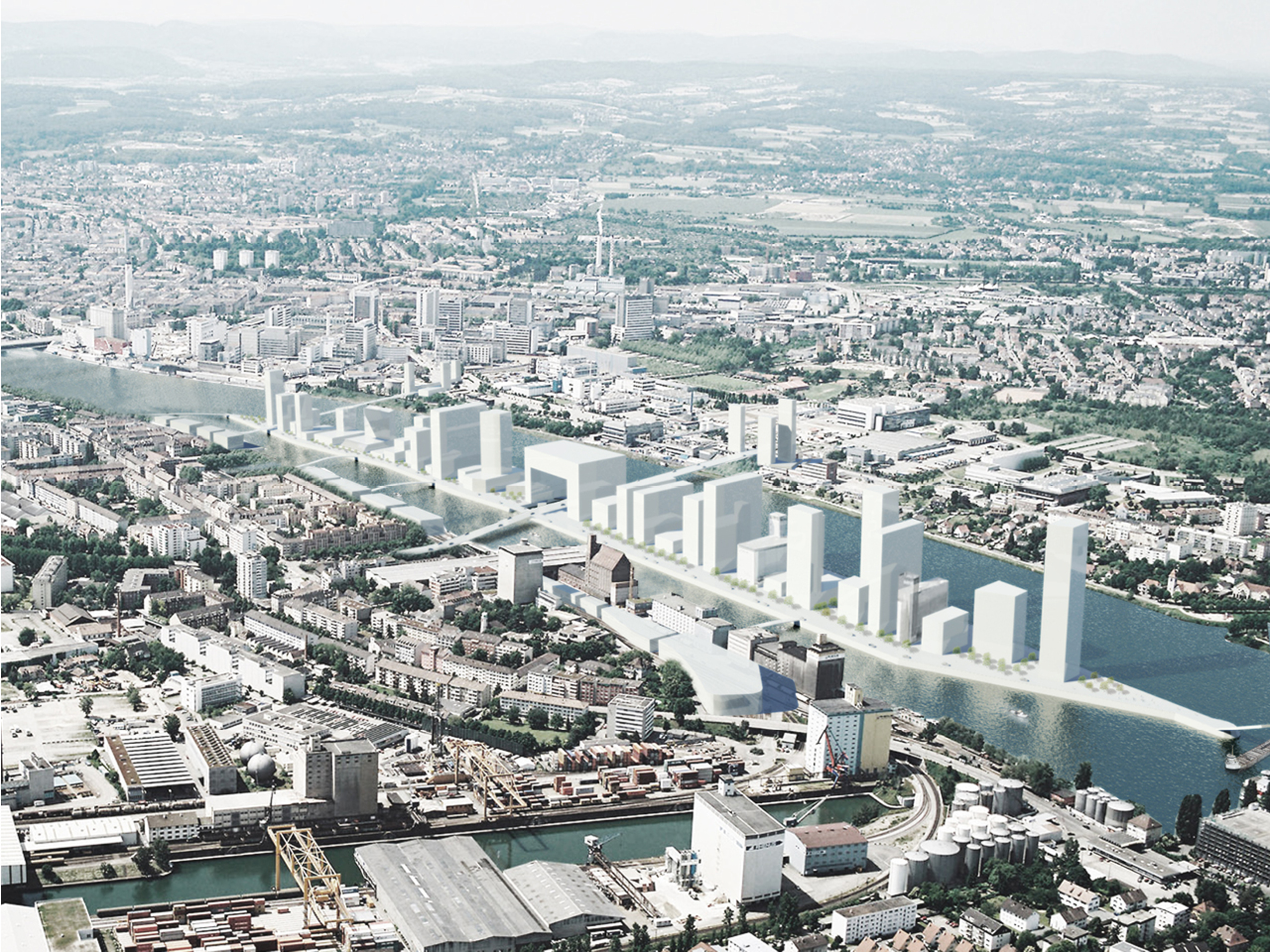
Basel Rheincity
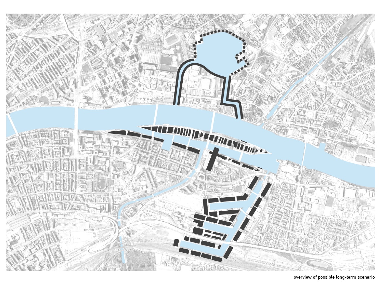
Basel – a port city – In the heart of Europe! The port of Basel finds itself in a limiting situation: transport access is difficult, the current quays are limited in size, and emissions are a problem. Should the port be repositioned more north, in order to be connected better to railways and roads? Can it then combine the several small ports in the region and turn it into an international hub in the centre of Europe? And can thus Basel create space for urban development?
- Location
- Basel, Switzerland
- Status
- Design
- Year
- 2009–2015
- Surface
- 460000 m²
- Client
- Bau und Verkehrsdepartement des Kantons Basel-Stadt
- Programmes
- Hotel, Offices, Residential, Master plan
- Themes
- Urbanism
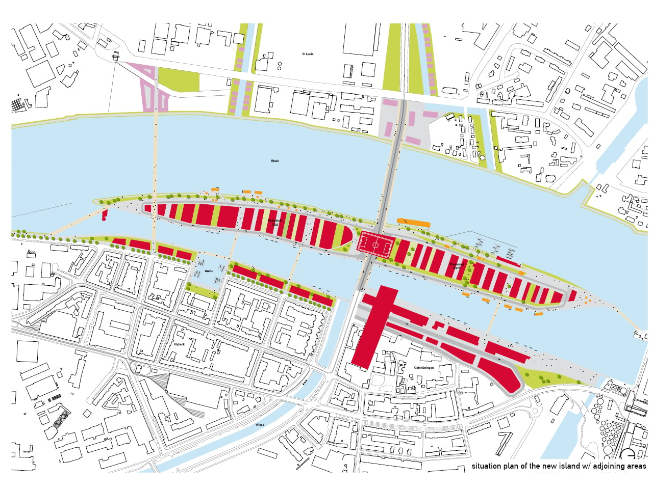
The site of this study is the island in Basel’s harbour, one of the few places in Basel where future development is still possible. The port of Basel is surrounded by three nations: Switzerland, France and Germany. What will be the future role of Basel’s port? Can it remain in its current state? Or is it better to reorganize it so as to connect it with the surrounding harbors?
The national borders have led to a series of mini harbors in the region; at the same time Basel is a city that desperately needs to find new sites for housing and working zones. This demands strategy for the transformation and development of the port area. The concept can develop from the task of organizing extra quay capacity as its basis. Through careful re-zoning a mixed use area can be created that facilitates the transition of functions. Housing, office, retail, education, containers etc. Part of this effort must focus on improving transport connections, be they with canals, roads, pedestrian and cycle paths, or public transportation.
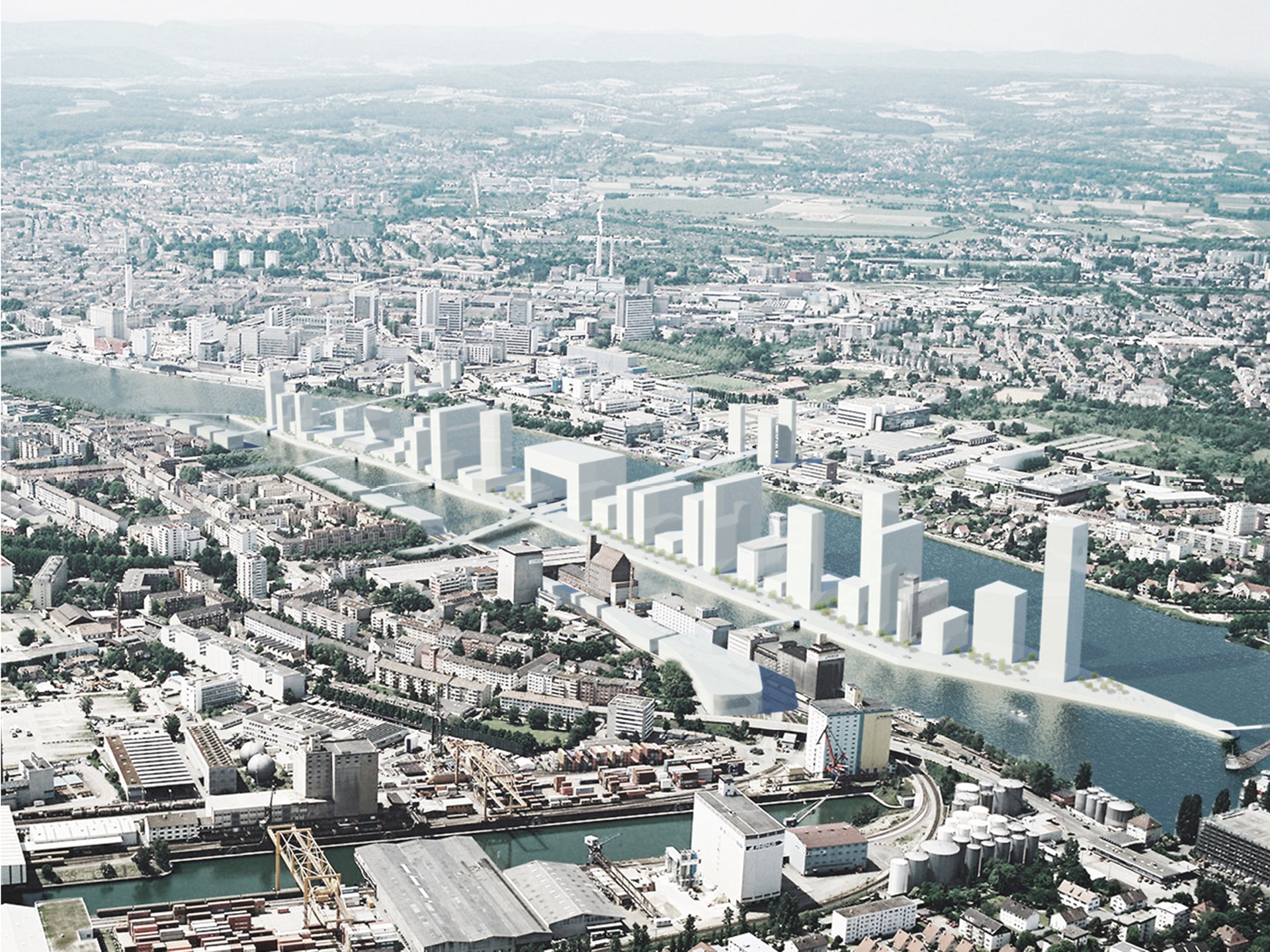
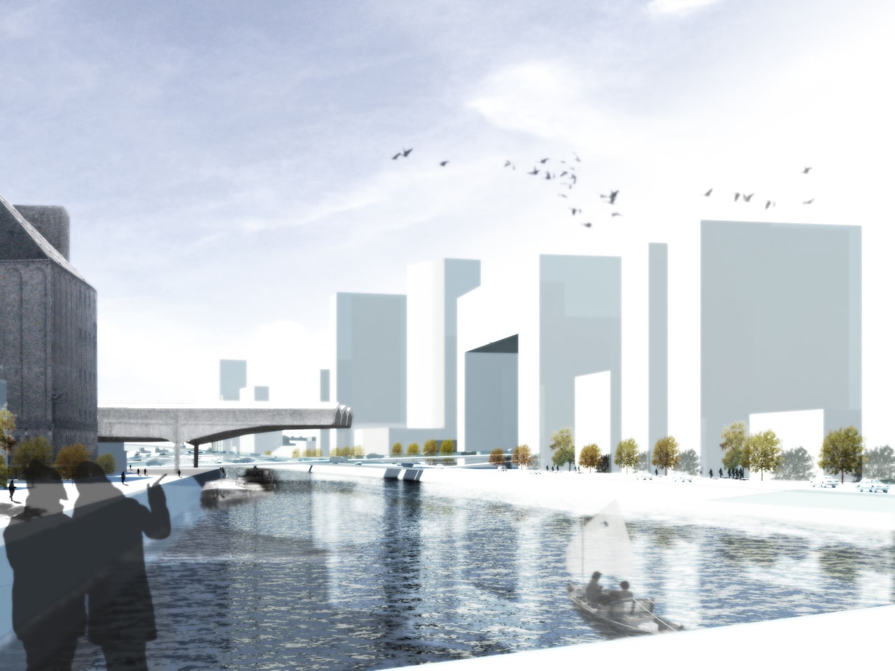
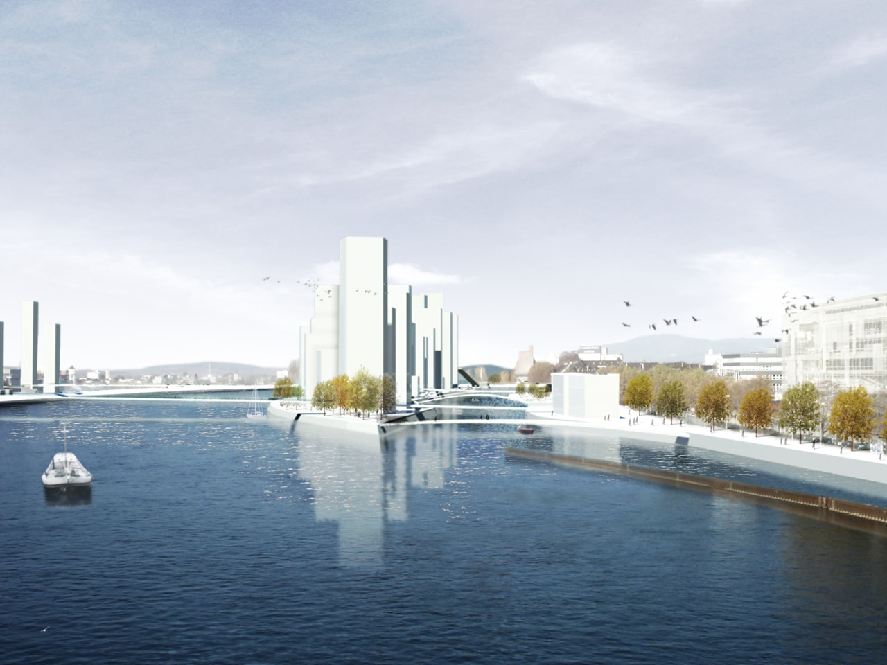
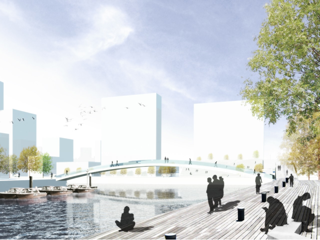
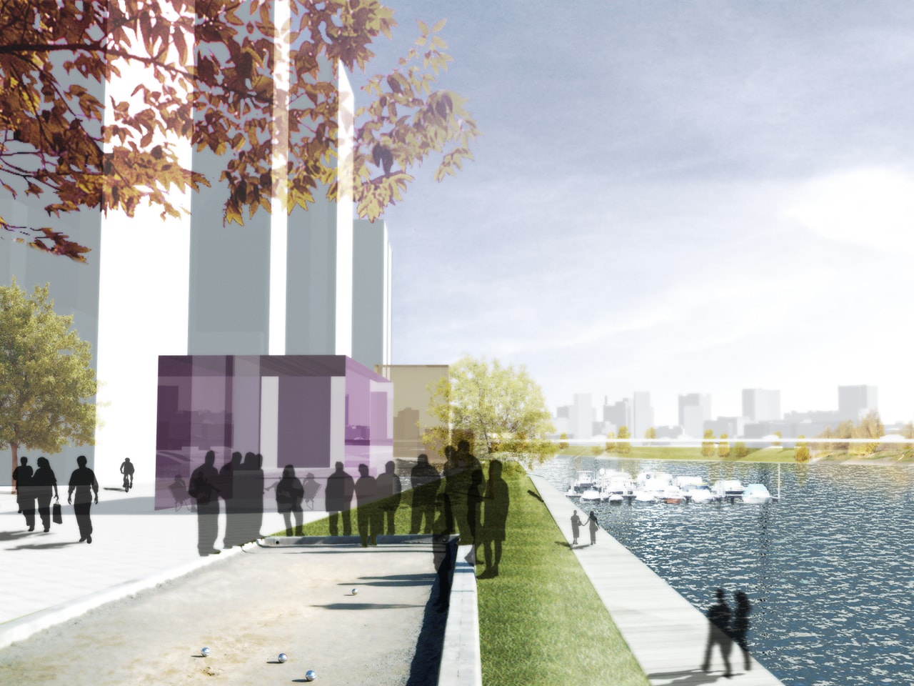
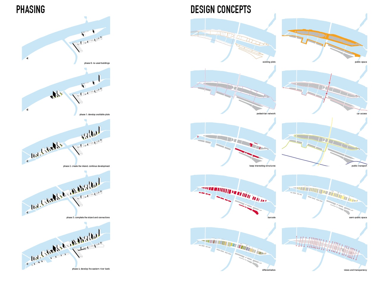
By dividing the island in an east west manner, relatively narrow plots are created that allow for each plot to have two addresses: one on the East Rhine and one on the West Rhine. All program retains river view and a higher value is created. This parcelling of land allows for enormous flexibility in several ways: plots can be divided and custom-tailored for different target groups of investments and developers, which is essential for diverse and viable development of the area; existing structures can be preserved and integrated; diverse programs and designs because of the large number of plots; and also the possibility to create a cohesive collection of buildings. The same goes for the in between spaces: a series of different landscape architects, creating everything from normal streets, pocket parks, restaurant alleys, boutique avenues, etc.
Within the barcode system distinct identities could develop. The duality in the surrounding of the island can be used to make a Janus like composition. A face to the south, towards Basel, towards Switzerland, and a face to the north, towards Europe. A international business and leisure zone with spas, wellness in the north and a university campus and housing to the south. A central plaza with a higher density around the station and the new bridge.
The relative distance from other program allows for higher and denser development than elsewhere in the city. This pays off (partly) the costs for the outplacement of the port, the cleaning of the site, the extra infrastructure and the new harbour basins.
The Rhine island should be designed in such a way that it can be developed over time in phases: first the free plots on existing quays can be developed, which generates the budget for the second phase of removing excess rail tracks and the new canals providing waterfront real estate, and eventually culminating in the total transformation of the island.
Gallery

Credits
- Architect
- Principal in charge